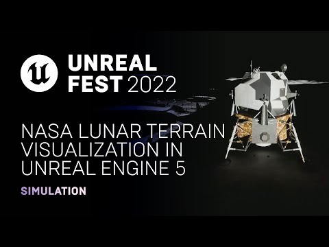
NASA Lunar Terrain Visualization in Unreal Engine 5
summary
NASA engineers use LRO LOLA DEMs, GDAL and Unreal Engine 5 to generate accurate lunar terrain and compare methods: a quick Landscape (PNG/RAW import) pipeline that loses precision to Int16 but streams well; a high‑fidelity Nanite meshes with UnrealGDAL approach that preserves float32, applies spherical curvature, and runs fast but requires heavy memory and long mesh‑build times (hours–days); and a configurable clipmap runtime with RuntimeMeshComponent that trades artifacts for cross‑platform scalability.
AI-written summary · about
chapters (7)
- 0:00Introduction and context
- 1:57Modeling and simulation goals
- 4:39Data acquisition and sources
- 7:20Landscape mode generation
- 12:21Nanite mesh implementation
- 17:39Clip map terrain systems
- 26:50Environment enhancement
related talks
 41mIntroduction to Deep Learning Models in Unreal
 52mUnreal Engine Open World Preview and Landscape Tools
 25mUsing Unreal Engine in Simulation Applications
 47mUnreal Engine for Next-Gen Games
 18mDesign Visualization Using UE 4.23
 37mCapturing the Reality of Space with Ray Tracing in Deliver Us The Moon
 59mThe Making of “Alpha Point”—UE5 Technical Demo
 31mUsing Accuracy & Realism to Attract New Gaming Audiences