Zoom In... Zoom Back

summary
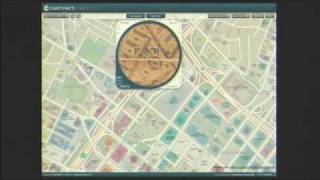
Zoom Atlas overlays a photorealistic layer on satellite imagery so users can zoom to any square inch and see artist-rendered interiors down to a store aisle or even an Oreo cookie, created by video-game artists. A simple web-based editor lets users correct roads and place houses and driveways, add animated road rendering, or roll the map back 30 or 60 years. Social notes already total 27,000 notes in three months and form shareable life-timeline paths.
AI-written summary · about
chapters (14)
- 0:00Intro
- 0:16Vision
- 0:32Perfect Map
- 1:18Zoom in
- 1:33Zoom back
- 1:48Zoom outlets
- 2:03Zoom rooftops
- 2:33Webbased editor
- 2:49Make it crappy
- 3:04Paint a road
- 3:19Set the clock back
- 3:34Why not add
- 4:19Real footage
- 4:36Timeline
related talks
 12m"Look! A Map"
 01h 41mOpenStreetWhat? Mapping The World With Open Data
 02h 02mInteractive 3D Web Mapping
 10mTurning Google Earth into SimCity 2000! (From Light to Pixels to...)
 25mMapping diplomacy: Visual storytelling for global impact
 05m"Wild Style City: Breaking the C
 01h 01mVisualizing and Analyzing Data in 3D
 28mThe art of place: Maps that merge design, data, and discovery