The Map as an Information Ecology

summary
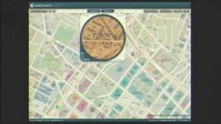
Bing Maps presents a spatial canvas that binds user photos, aerial and street imagery, and apps into a single info layer. It stitches oblique 45° aerial shots into a photosynth-inspired aerial grid and uses deep-zoom (SeaDragon) for lossless zoom; user-contributed synths like a 404-photo Notre Dame outperform raw web mining. Geotags often miss by 40–100 meters, so historic Flickr shots get photosynthetic matches to street-side imagery. Live apps stream foursquare check-ins, Oodle listings and hyperlocal blog posts via trellis and grapes to produce real-time, discoverable place data.
AI-written summary · about
chapters (5)
related talks
 12m"Look! A Map"
 28mThe art of place: Maps that merge design, data, and discovery
 44mMaps & Data
 22mIsland Mapping: Measuring Urban Footprints with Mapillary & Open Source Tools
 02h 02mInteractive 3D Web Mapping
 16mAdvanced Map Techniques (en)
 32m"The Evolving Geoweb"
 46mDiscovering 40 Geo-APIs in 40 Minutes