Hydrological Modelling in QGIS with Whitebox Tools
summary
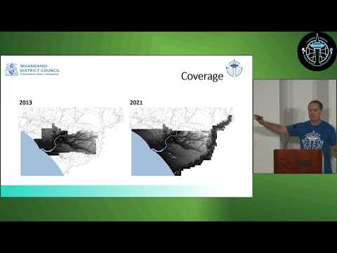
Whanganui District Council uses WhiteboxTools in QGIS on 2021 1 m LiDAR to derive Overland Flow Paths and Ground Depression Areas, converting raster streams to vectors and computing flow accumulation with thresholds >5 ha, 1–5 ha, <1 ha. Depressions are breached using a least‑cost breaching algorithm (some steps take about an hour, depression extraction ~1 minute), outputs match observed river flood extents, outperform a 2013 2 m DEM product, and feed a developable‑land model and MapStore dashboard used in council planning.
AI-written summary · about
chapters (8)
- 0:00Introduction to project
- 0:48Open source GIS stack
- 2:07Environment and tools
- 3:21Processing workflow
- 6:43Visualization and styling
- 8:32Comparative analysis
- 12:44Practical applications
- 14:36Q&A session
related talks
 21mGPU-accelerated Hydrology Algorithms for On-prem Computation: Flow accumulation,(…)
 31mUnpacking the geospatial engineering toolbox – an overview of data science techniques for spatial da
 25mDrawing carbon boundaries: How Mapbox powers land eligibility analysis - Earthshot’s LandOS platform
 41mLarge Scale Field Delineation
 19mDigital Earth Pacific DEP cloud native approaches to detect mineral extraction
 30mHow to Empower Utility Vegetation Management
 07mMapping Urban Deprivation
 17mFree satellite imagery and DEM analyses enabling NRM in the developing world