How to Empower Utility Vegetation Management

summary
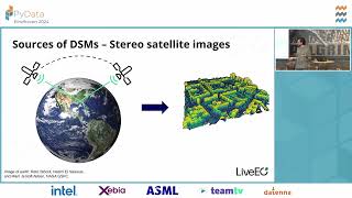
LiDAR plus satellite imagery produce line‑level, foot‑level encroachment estimates aimed at one-foot precision, after satellite 30–50 cm imagery proves insufficient. The system switches to airborne LiDAR, computes 3D minimal distances, classifies energized versus neutral/comm lines with ML (not deep learning), and fills missing wires using a Gap filling algorithm that accounts for sag; automated quality checks remove bad fits. The pipeline scales to >10,000 files/terabytes using a Kubernetes cluster and yields prioritization that targets the 77% tree‑caused outages and supports condition‑based trimming.
AI-written summary · about
chapters (7)
- 0:00Vegetation management challenges
- 3:22LiDAR data for vegetation analysis
- 10:39LiDAR data processing challenges
- 19:04Gap filling in LiDAR data
- 24:04LiDAR data processing steps
- 28:05LiDAR data use cases
- 29:50Tools and packages used
related talks
 36mWatching Millions of Trees with Python: For Impact and Profit
 21mNeedle in the Haystack: Applied ML for Inspections of Power Infrastructure
 41mAbby Seneor | AI Track | Compass AI & Data Summit 2025
 27mSmart Forestry: AI in the Service of Nature
 28mGeoAI: Evolution of AI-Based Tree/Vegetation Detection Models Using Imagery
 32mMeasuring Vegetation Health to Predict Natural Hazards
 48mTaking the planet’s pulse: AI to empower adaptation to global change
 30m🌳 The taller the tree, the harder the fall. Determining tree height from space..