Towards developing the best (and most diverse!) map in the world!

summary
Project updates and concrete results: OpenStreetMap boundary import in Mexico grows from 69 to 2457 boundaries after a 1.5 year cleanup and an import paused by the data working group; Mapbox-assisted earthquake response mobilizes ~1500 volunteers to add 250,000 buildings in two weeks; street‑level imagery campaigns populate remote towns in Canada, Quito and Galápagos with thousands of images; a diversity initiative expands from a handful to over 200 women worldwide, running trainings, Oaxaca and Nicaragua mapping projects, translations and regular YourChicas meetups.
AI-written summary · about
chapters (8)
- 0:00Intro
- 0:24Mexico
- 7:49Women in OpenStreetMap
- 9:52What can be done
- 16:25Streetlevel imagery
- 16:55Female projects
- 18:30Who can help
- 19:19Closing
related talks
 15mParticipatory & Open GIS for Action-Oriented International Development
 45mThe OpenStreetMap Project = Data + Community
 48mOpenStreetMap - Balancing structure with grassroots mapping
 11mMapping for Impact
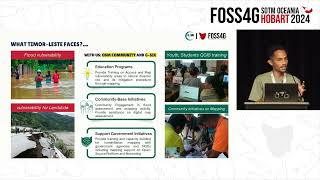 06mInnovative Approaches to Anticipatory Mapping in Bobonaro, Timor Leste
 41mPlenary Session
 04mInterview with Eric Gundersen
 40mHow do you harness crowd sourcing for a community that also delivers for business?