Fishing for routes: exploring an application of pgRouting
summary
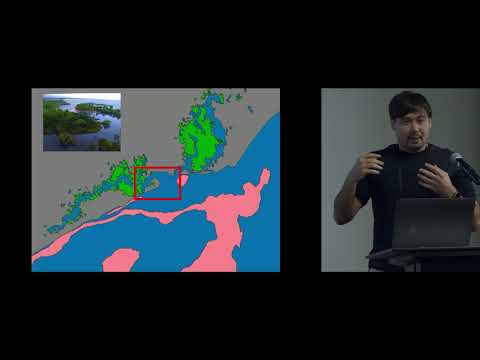
Uses pgRouting with PostGIS to convert drone imagery classified with scikit-learn into a navigable graph, then builds a reduced network of Voronoi lines to force edges through water and tags edges intersecting land as negative cost. A naive vertex-to-vertex method takes weeks for thousands of points, the Voronoi reduction runs quickly and Dijkstra finds shortest swim paths to nearest reef. Produces reproducible distance estimates that ignore currents and fine-scale behavior so results are useful as approximations not exact movement tracks.
AI-written summary · about
chapters (9)
- 0:00Introduction to talk
- 1:08Fish navigation in mangroves
- 3:58What is pgRouting
- 6:13pgRouting applications
- 9:24Goal for fish pathfinding
- 10:47Creating network topology
- 13:59Voronoi-based graph
- 16:58Finding shortest paths
- 17:21Q&A session
related talks
 47mPostGIS and pgRouting: Extensions for spatial data in PostgreSQL
 01h 00mPostGIS in Agribotics
 40mGIS capability of PostgreSql using POSTGIS & OSM DATA
 26mBUILD YOUR OWN ELECTRIC VEHICLE CHARGING MAP WITH PostGIS
 23mDataEngBytes 2023 - BRI-T1-11 - Lizzie MacNeill
 38mNeo4j for Solving Graph-Based Problems
 42mUsing Postgres to locate the best coffee near you!
 22mQuerying & Visualizing Graphs in Postgres with Apache AGE