Feedback on a new OSM movement in French Polynesia
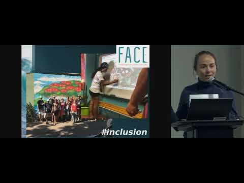
summary
French Polynesia maps community forms regular meetings since August and runs accessibility mapping parties that collect 250 accessible points across 118 islands with 280,000 people and poor internet. The urbanism service creates a unified database 2018 and releases data under Creative Commons, and volunteers are actively importing government data into OpenStreetMap. A pilot with a foundation funds five mappers one day a week to gather accessibility attributes, plus planned island field tours and short trainings to scale contributions.
AI-written summary · about
chapters (7)
- 0:00Introduction to OSM movement
- 3:44Geographical and governmental context
- 8:10Community mapping accessibility
- 11:09Government data sharing progress
- 15:32Future plans and next steps
- 17:48Call to action and hope
- 18:10Q&A session
related talks
 19mSDI and geographical research in French Polynesia
 28mInspiring the Next Generation My Journey in Open Source and Community Build
 45mThe OpenStreetMap Project = Data + Community
 48mOpenStreetMap - Balancing structure with grassroots mapping
 24mThe use of Free and Open Source GIS at National to Local Communities
 32mThe OpenStreetMap Community
 45mMapping the Future: The Intersection of Geospatial, Open Source, and Open Data
 21mExploring OSPOs and Open Methods in Humanitarian Response