Innovative Approaches to Anticipatory Mapping in Bobonaro, Timor Leste
summary
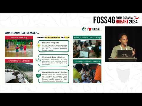
Community teams map Bobonaro using OpenStreetMap and analyze hazards in QGIS, producing three activity areas: education, community-based mapping, and data preparation for government decision making. They build printed evacuation maps and routing for floods and landslides, integrate OSM layers into uMap + Android reporting for real-time community reports, and run a paid Open Mapping Guru Fellowship to train youth. Outcomes include mapped evacuation centers, verified critical facilities, and routine community reporting.
AI-written summary · about
related talks
 24mFree and Open GIS Tools for Anticipatory Action and Disaster Prep.
 48mOpenStreetMap - Balancing structure with grassroots mapping
 17mCommunity & Partnerships
 05mOpenStreetMap's Role in the 2013 Jakarta Floods
 03mTools Community and Data: Native Mapping in Africa, for Africa
 24mThe use of Free and Open Source GIS at National to Local Communities
 45mMapping the Future: The Intersection of Geospatial, Open Source, and Open Data
 21mExploring OSPOs and Open Methods in Humanitarian Response