Advancing Flood Resilience: A Responsive Digital Twin Framework for Real Time Flood
summary
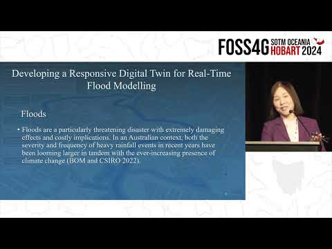
Claims a working responsive digital twin for near‑real‑time flood modeling that links IoT feeds to a 3D cloud platform; implemented a PostGIS spatial DB, converted datasets to 3D CDB with FME, runs simple inundation simulation via Turf.js, and ingests live river and 24‑hour weather data from the MWater API. Demo forces water level and rainfall to trigger thresholds and visualizes flood extent in the web front end and a game‑engine VR export; student project proves concept but uses a basic raster flood model without tides or pipe networks.
AI-written summary · about
chapters (7)
- 0:00Introduction and teaching focus
- 1:06Project-based learning framework
- 2:34Cloud-based open-source GIS
- 7:59Case study one flood digital twin
- 15:35Live demo of flood system
- 18:13Future research and VR integration
- 19:58Q&A and closing remarks
related talks
 23mFlood monitoring using
 30mDigital twins for sustainability
 36mUsing Your Digital Twin to Understand the Effect of Future Changes
 42mBuilding a Resilient, Safe and Smart City in Challenging Times: Kyiv Case Study
 38mPrepping Mega-Models for the Metaverse: Engineering Edition
 02h 02mInteractive 3D Web Mapping
 35mPetaBencana.id: Software as Infrastructure
 27mCartography on the Web