UAV Change detection using FME and QGIS
summary
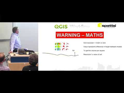
Automated workflow uses FME automation to compare yesterday’s base DEM with each new UAV flight over a 10‑hectare site flown daily for six months, producing a 2 cm grid cut/fill raster; noisy objects (vehicles, containers, ponds) are removed by operators using QGIS digitize and then zonal statistics sum the raster cells. Volume calculation multiplies the cell-value sum by (0.02 m)^2 to generate daily cut/fill reports and JPEG time‑lapse images.
AI-written summary · about
chapters (12)
- 0:00Intro
- 1:26The project
- 2:49What they wanted
- 3:27The normal process
- 4:34Automating S
- 4:50FME
- 5:46QGIS
- 6:28Digitizing
- 7:13Zone Statistics
- 7:57Math
- 8:59Cut
- 10:02Timelapse
related talks
 14mSatellite data monitoring for analytical models
 05mCoastal Waters Utilizing GIS & RS techniques
 52mFlying services with a drone
 47mNext-gen Dynamic UAV using Power9 Systems
 48mFlying services with a drone
 19mTime and tide. Mapping the changing 3D shape of Australia’s coastline using p
 18mBuilding Damage Detection from Satellite Imagery
 18mGridDrones: A Self-Levitating Physical Voxel Lattice for Interactive 3D Surface Deformations