The future of open data

summary
Describes a geospatial data publishing platform (Coordinates) that moves government data from zipped, proprietary, or broken WMS files into reliable, consumable data as a product with APIs, projection transforms and usage metrics. Shares a concrete failure: an authoritative marine reserve map in Fiji proves wrong, and a success: a dataset owner shifts from 30 DVDs per month to 26,000 views and 30,000 downloads in one year, showing the platform raises discoverability, usability and uptime and enables synchronized, filtered data supply chains.
AI-written summary · about
chapters (7)
- 0:00Start
- 3:52Mapping Cloud Break
- 6:522006-7 Creative Commons Australia and Aotearoa New Zealand
- 8:14What is Dormant Data?
- 11:27The Open Data Puzzle
- 14:03Universality Usability Reliability
- 17:01We want to make it trivial to distribute data across complex supply chains, sync updates, and customise data for your projects.
related talks
 45mMapping the Future: The Intersection of Geospatial, Open Source, and Open Data
 21mThe socio-economic advantages of open data implementations
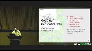 13mDemocratising Open (Geo)Data for Open Innovation and Solutioning
 24mBuilding Open Data Platforms, an Insider's Perspective
 47mHow to get Open Data into the Hands of Activists
 29mOpen Data
 18mWhy Geospatial Data is Infrastructure
 19mThe Power of Open