GeoAI: a feature extraction tool set using Tensor Flow and Keras...
summary
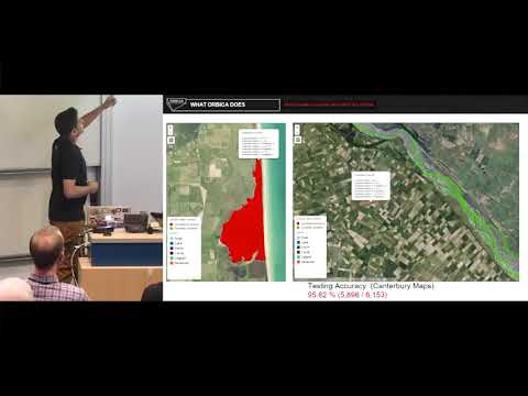
A convolutional encoder‑decoder pipeline extracts building, road and water polygons from high‑res RGB tiles (about 7.5 cm resolution, ~15 million pixels per tile) using TensorFlow and Keras, OpenCV and GPU inference on a DGX1 (~30 minutes to train on 600 tiles). Building outlines use binary FCN output cleaned with raster→vector geoprocessing and IoU evaluation; water polygons are classified by six geometric/elevation features with 95% accuracy on 6,000 test polygons.
AI-written summary · about
chapters (11)
- 0:00Introduction to GeoAI
- 1:24AI ML and deep learning
- 2:47GeoAI pipeline overview
- 4:13Building outline extraction
- 6:43Model evaluation and tuning
- 8:06Comparison old vs new methods
- 9:10Water detection from images
- 11:41Road detection and classification
- 12:01Automated construction progress
- 14:16Technologies and tools
- 15:28Q&A and future work
related talks
 01h 36mFrom Maps to Models: An End-to-End Journey in Geospatial Machine Learning with Python
 28mGeoAI: Evolution of AI-Based Tree/Vegetation Detection Models Using Imagery
 33mWhat and where? - Machine learning for geospatial image analysis
 11mTerraKit: Standardising AI-Ready Geospatial Data...
 18mGeospatial AI: Where Can AI Help to Tackle Today’s Real-World Challenges?
 31mFrom Radar Echoes To Real-Time Recognition: Deep Learning on Another Planet -An Open Source Workflow
 36mClassification of Satellite Imagery
 19mHow we leverage AI to build great maps at massive scale