TerriaJS: An open-source framework for 3D geospatial data...
summary
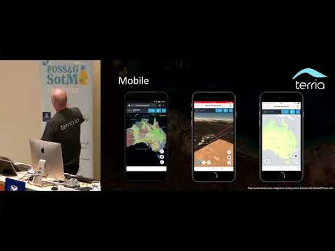
TerriaJS is an open-source JavaScript platform that powers a public NationalMap connecting 10,000+ datasets by talking directly to custodial services (CSW, Socrata, WMS, ArcGIS, CSV) so data stays federated rather than copied. It renders 3D with Cesium 3D with Leaflet fallback, supports time-aware layers and split-screen comparisons, streams real-time power generation every five minutes, offers CSV/feature uploads and downloads, and sees production use across federal, state and local sites and many community forks on GitHub.
AI-written summary · about
chapters (8)
- 0:00Introduction
- 1:05Open data policy drive
- 3:30National Map origins
- 4:38TerriaJS platform explained
- 6:20Key features overview
- 8:53Live demo ARIMA maps
- 12:53Summary and impact
- 13:47Q&A session
related talks
 22mState of TerriaJS
 20mA semantic terrain engine
 05mCloud Optimised Geotiffs in TerriaJS
 29mCreating 3D web maps with Cesium
 27mCartography on the Web
 25mDigital Twins with TerriaJS and Magda
- 29mCreating 3D web maps with Cesium
 21mjsMapservice: leveraging the open source stack for rapid publishing of spatial data