Democratising Open (Geo)Data for Open Innovation and Solutioning
summary
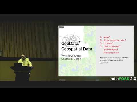
Defines geodata as any dataset with a location component and shows concrete outcomes: ESA/Copernicus supplies 16 terabytes per day of 10m-resolution imagery and OpenStreetMap gives editable base maps; a local Map Kerala effort runs participatory mapping (2014, 2018), builds an alpha tool to export OSM category dumps, and rationalizes bus routes by mapping 22,000 km in Kochi and importing it under an open license so agencies and businesses can reuse cleaned, maintained layers rather than raw tables.
AI-written summary · about
chapters (6)
- 0:00Start
- 2:50Business Analytics
- 3:17Why Why Is Geodata So Important
- 7:29Open Data Projects
- 8:29Openstreetmap
- 9:16Democratizing the Data
related talks
 18mThe future of open data
 29mOpen Data
 21mThe socio-economic advantages of open data implementations
 45mThe OpenStreetMap Project = Data + Community
 45mMapping the Future: The Intersection of Geospatial, Open Source, and Open Data
 14mOverture and OpenStreetMap: Expanding Open Map Data
 41mEmpowering the Map Ecosystem With Open Data
 08mOpen source in the location technology industry