Satellite data monitoring for analytical models

summary
Astro Digital streams calibrated multispectral imagery (10–30 m, 200×200 km tiles) from public archives plus a Landmapper constellation, claiming daily monitoring from 10-satellite fleet and access up to 17 years of history. A cloud pipeline uses windowed processing on AWS Lambda to avoid moving whole scenes, handling a 5–6 PB archive and achieving 10,000 concurrent Lambda calls so a corn-belt crop classification runs in ~30 minutes; examples include building detection in Dubai from 50-image time series.
AI-written summary · about
chapters (7)
- 0:00Introduction to satellite data
- 1:14Monitoring with satellite imagery
- 3:21Satellite imagery characteristics
- 6:09Beyond visual assessment
- 7:57Global building detection
- 9:02Processing challenges and solutions
- 12:41Conclusion and platform demo
related talks
 04mInterview
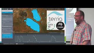 16mThe Open Data Cube and working towards a Digital Earth
 39mSatellite Imagery to Machine-Readable Intelligence
 10mUbiquitous Satellite Imagery of our Planet
 34mGeoscience Big Data Computing with Python
 44mDemocratizing Climate Science
 21mAquawatch Data Systems a cloud solution for water quality monitoring and forecasting
 36mClassification of Satellite Imagery