Planes, Trains, Boats & Automobiles (and Maps)

summary
Argument that HS2 frees capacity on existing lines for freight by shifting passengers onto a 350 km/h top speed high‑frequency network (trains about every three minutes), backed by a technology plan that uses Wardley mapping, 5D modeling and open APIs / open data. Delivered assets include interactive geospatial maps and a street‑view of the route plus VR proofs of concept; migration to cloud and visualization work claims over 95% cost reduction versus on‑premise and over 90% infrastructure moved to cloud.
AI-written summary · about
chapters (9)
- 0:00Relevance
- 3:50GDP
- 8:21Challenges
- 9:41Situational Awareness
- 11:27HS2 Technology Lean
- 13:23What happened next
- 14:23HighSpeed Rail
- 17:11Technology Strategy
- 19:39Questions
related talks
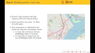 17mSignal priority for improving fluidity and decreasing fuel consumption
 13mReimagining Public Transport: An OSM-based Street Supply Tool
 16m"Ubiquitous GeoContext"
 28mAmtrak's cloud adoption is riding the high-speed rail
 28m"Where, When, Why, and How: Directi
 16mAccelerating territory’s development through Open Data
 16mExpress Lane to Efficiency and Reliability: Multi-Dimensional Control in Meta’s Express..
 15mThe turf wars on data - can be a matter of life and death