"ArcGIS and the Web: Better Sharing of Geographic Information"
summary
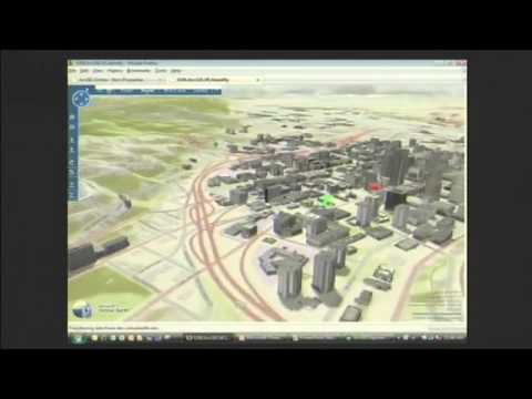
ArcGIS Online is a cloud GIS that hosts content from partners and millions of GIS users, providing a US-wide topographic map service that renders contours, buildings and shading and can be mashed into Virtual Earth or Google Maps live. Web maps are built without code using JavaScript/Flex/Silverlight SDKs, saved and remixed as persistent URLs indexed by Google. A free desktop ArcGIS Explorer shows the same layers in 2D and 3D. A REST API is slated for release.
AI-written summary · about
chapters (6)
related talks
 22mSpatial Analysis and the Geoweb
 12mGeoEnabling Gov 2.0
 12mOpen Data and the Future of ...
 41mA Developer's Guide to Open Source Web Mapping Libraries
 32m"A Developer's Guide to Open Source Web Mapping Libraries"
 46mDiscovering 40 Geo-APIs in 40 Minutes
 33mMaps on the Web
 21mjsMapservice: leveraging the open source stack for rapid publishing of spatial data