The 20,000km view: How GPS works
summary
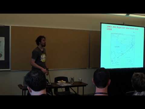
Explains that GPS measures time-of-flight from satellites at 20,000 km altitude moving ~14,000 km/h, requires relativity corrections, and recovers signals that start as 500 watts -> -18 orders magnitude when they arrive by using direct‑sequence spread spectrum and PRN codes. Navigation data is only 50 bits per second nav message so cold starts take ~12.5 minutes while ephemeris downloads give warm starts in 18–48 seconds; assisted GPS and open SDR hardware (a GPS RF board prototype for rockets) are used to get fast, hackable fixes.
AI-written summary · about
chapters (15)
- 0:00Intro
- 0:41Overview
- 1:32What is GPS
- 6:28How far is GPS
- 8:21Spread spectrum
- 12:33History of GPS
- 16:20Transit
- 21:17Can we trust GPS
- 22:43GPS modernization
- 27:41Avocation message
- 29:28Ephemeris
- 31:03Lowassisted GPS
- 32:17Accuracy
- 34:32Openness
- 39:41Summary
related talks
 17mGlobal Positioning System
 37mWhere the Heck Am I? Understanding Location in Your Application
 40mStrengthening Resilience of Positioning, Navigation, and Timing Services
 50mAnother Place, Another Time: GPS Threats And Countermeasures
 50mDo you know where you are? How satellites keep us from getting lost
 17mGraham: Synchronizing Clocks by Leveraging Local Clock Properties
 46mIt's All About Timing
 41mReverse Engineering Satellite Communication