LocAP: Autonomous Millimeter Accurate Mapping of WiFi Infrastructure
summary
System autonomously maps existing Wi‑Fi infrastructure by mounting a Wi‑Fi client and visual SLAM on a robot, collecting CSI and using differential carrier‑phase across multiple robot vantage points to jointly estimate antenna separation and deployment orientation. Tested in a commercial ~2,000 ft² site with eight APs (antenna spacings 0.5λ–2.5λ), it reports 3 mm antenna separation median error and 3° orientation median error versus prior 150 mm and 25°, achieving the millimeter/sub‑10° accuracy required for decimeter‑level user localization.
AI-written summary · about
chapters (17)
- 0:00Intro
- 0:30Indoor Navigation: Applications
- 0:56Indoor Navigation: Mapping
- 1:09Indoor Navigation: Localization
- 1:40Indoor Navigation: What is missing?
- 3:32Primer: WiFi-based User Localization
- 5:40Requirement for Deployment Orientation
- 6:25Stringent Requirements for Reverse Localization
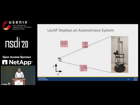
- 7:09LOCAP Deploys an Autonomous System
- 8:33Anchor Localization: Handling Bot Errors
- 9:23How to bridge this gap?
- 10:26Phase Difference at
- 13:09LOCAP uses Differential Phase Difference
- 13:59Evaluation Setup
- 14:40Antenna Separation Prediction Results
- 14:59Deployment Orientation Prediction Results
- 15:25Conclusion and Applications
related talks
 40mIndoor Locationing
 24mPinPoint: Localizing Interfering Radios
 13mAnalyzing and broadcasting accessibility with OpenStreetMap
 39mHow to get one-meter location-accuracy from Android devices
 15mBluetooth® Technology Introduction: Exploring Major Recent Advancements
 14mLarge Network UWB Localization: Algorithms and Implementation
 12mA Fresh Look on Indoor Positioning
 29mBuilding an Indoor Positioning App with Wi‑Fi RTT