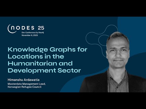
Knowledge Graphs for Locations in the Humanitarian and Development Sector
summary
NRC restructures fragmented location master data into a knowledge graph using Neo4j + RDF mapping and API ingestion to unify records across 40 country operations, removing duplicates and adding provenance metadata for GDPR traceability. The implementation encodes hierarchies (locality→city→province), staff assignments, project funding and partner links, relies on unique identifiers plus ISO and M49 codes, supports dynamic cross-system queries, and omits polygon geometry for now; results show improved consistency and a working single source of truth.
AI-written summary · about
chapters (10)
- 0:00Introduction and welcome
- 0:44Challenges in location data
- 3:15Organizational data challenges
- 5:25Why knowledge graphs
- 6:51Approach and methodology
- 8:16Ontology design process
- 9:01Core classes and relationships
- 11:13Project and staff details
- 12:42Data properties and codes
- 13:03Neo4j implementation
related talks
 11mEnhancing Supply Chain Resilience and Transparency Through Spatial Knowledge Graphs
 30mEntity Resolved Knowledge Graphs
 44mBuilding Knowledge Graphs
- 44mBuilding Knowledge Graphs
 24mWhy You Need a Knowledge Graph And How to Build It
 46mBuilding Knowledge Graphs
 21mMastering Knowledge Graph Transformations Without Compromising Meaning
 01h 24mStructured Data in 2021 and Beyond