Estimating Traffic Flow to find New Drive Thru Locations
summary
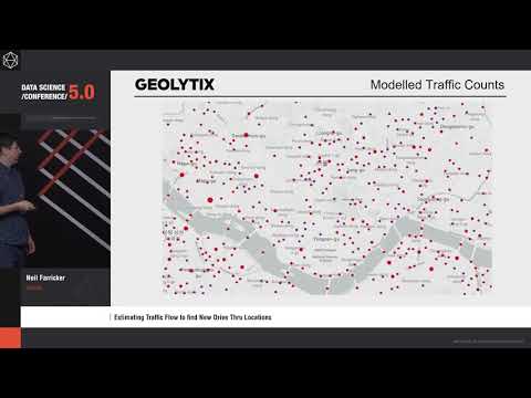
A pipeline produces countrywide link-level traffic estimates for South Korea by fusing OpenStreetMap road graphs, betweenness centrality scoring and car counts from aerial imagery. Images are manually tagged in-house, object detectors compared Single Shot vs Faster R-CNN and the chosen model runs at scale in Google Dataproc using preemptible VMs. The graph has over 1 million links, end-to-end processing takes about half a day, gives continuous scores for major A-roads and motorways (useful in drive-thru sales models) but fails on small residential streets.
AI-written summary · about
chapters (9)
- 0:00Start
- 0:59What We Do
- 2:28Tech Stack
- 3:42Exam Question
- 6:09Actual Traffic Counts
- 7:24Methodology
- 14:28The A Team
- 15:06Solution
- 16:50Results
related talks
 30mCreate Detailed Traffic Models and Simulations
 19mHow we leverage AI to build great maps at massive scale
 41mPredicting the Traffic Jam Congestion Aware Routing
 38mFinding Lane Lines for Self Driving Cars
 15mTowards automated mapping of pedestrian path networks at scale
 19mChallenges & Opportunities for Building Crowdsourced Mapping Services for Autonomous Driving
 46mML Use Cases at Think Big Analytics
 28m"Where, When, Why, and How: Directi