Beyond standard routing: Supporting fleet compliance and safety with Zone Avoidance in Mapbox
summary
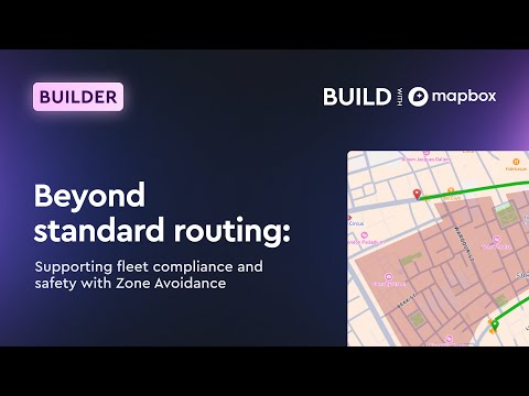
Describes a concrete pipeline: prepare line-delimited GeoJSON with excludeRouting=true, upload it to Mapbox via the Mapbox Tiling Service + routing recipe API, and publish a Zone Avoidance routing endpoint that actively tags road segments to be avoided. Shows manual UI flow and a Python Jupyter demo that processes 1,151 GBFS zones, creates visualization tiles and a routing endpoint, returns violation notifications when a stop lies inside an excluded polygon, and is available in private beta.
AI-written summary · about
chapters (8)
- 0:00Introduction to session
- 1:28Challenges with standard routing
- 2:29What is Zone Avoidance
- 4:35Setting up Zone Avoidance
- 6:23Demo: Handling school zones
- 25:43Programmatic setup with GBFS data
- 48:21Q&A on notifications and APIs
- 50:06Closing and next steps
related talks
 15mThe turf wars on data - can be a matter of life and death
 01h 34mBuild a Web Map with Open Source Tools
 20mRoute Optimization Engine for the Real World
 17mBoosting Map Performance with Mapbox and Flutter
 39mGeotriggers & Spatial Awareness with ArcGIS Maps SDK
 16mRaster tiles to vector tiles: how to cross the gulf
 15mMaking maps work on mobile
 09mCartography Protips: Creating Basemaps for Amazon Location Service